Geography
GANGTEY
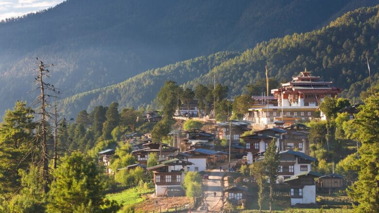
Elevation 3,000 meters The name commonly given to the Phojikha Valley, Gangtey is considered one of the most beautiful spots in Bhutan. It is a wide, flat glacial valley, well worth a visit of…
WANGDUEPHODRANG (WANGDUE)
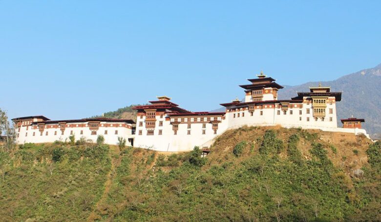
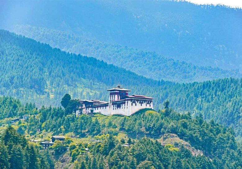
Elevation 1,350 m To the south of Punakha is the valley of Wangduephodrang as the national highway heads towards central Bhutan. A brand new town carved out of terraced rice fields will soon r…
PUNAKHA
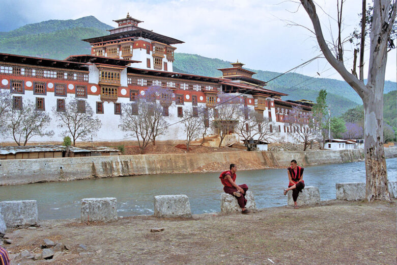
Elevation 1,300 m Punakha is the ancient capital of Bhutan; about 2 1/4 hours drive from Thimphu across Dochu-la pass. Once you cross the pass, you wind down into a warm fertile valley and mea…
THIMPHU
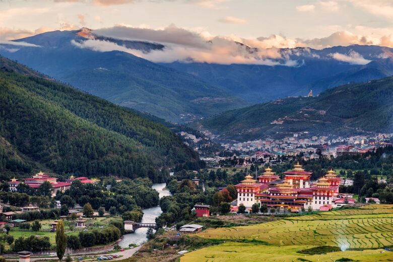
Elevation 2,320 m This is the capital of Bhutan with a population of approximately 100,000 people. It is the largest town in Bhutan, about an hour from the airport in Paro. As you e…
PARO
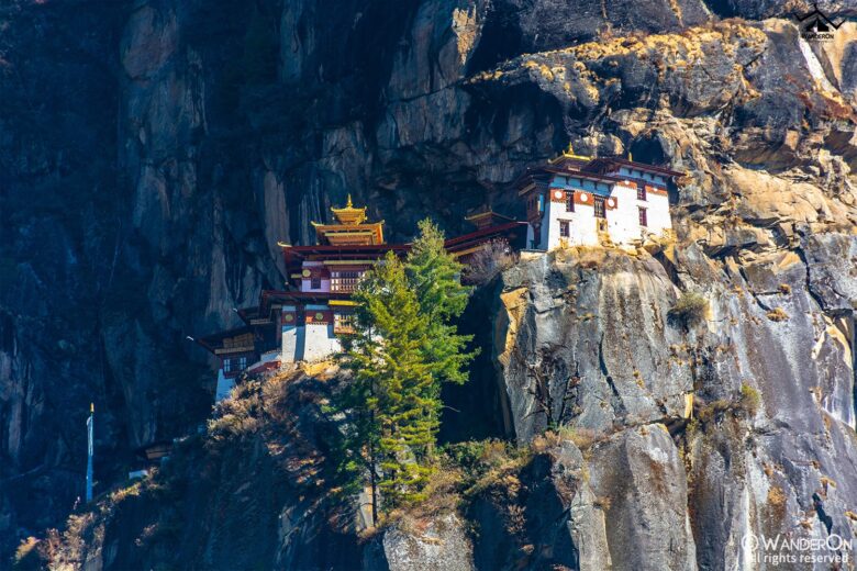
Elevation 2,280 m The broad Paro valley is the entry point for all visitors flying into Bhutan on the national carrier, Druk Air. As the plane takes a dramatic sweep into Paro, the flight capt…
BUMTHANG
Elevation 2,600-4,000 meters Bumthang is known as the spiritual heart of the kingdom, as it was here that Guru Rinpoche cured a local king of a spirit-induced ailment in the 8th century CE, an…
TRONGSA
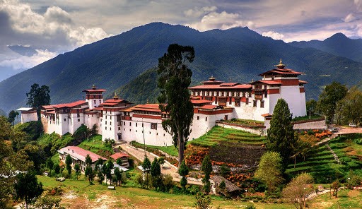
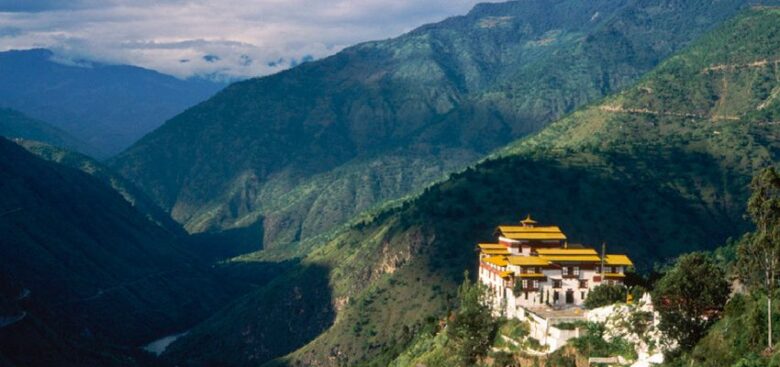
Elevation 2,180 meters Trongsa is the capital of Trongsa District in central Bhutan. It means “new village” in Dzongkha. It is one of Bhutan’s most historic towns, with the first monastery bui…
TRASHIYANGTSE
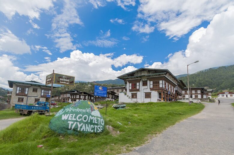
Elevation 1,871 meters Established as a district in 1992, Trashi Yangtse is one of the newest dzongkhags (district) in Bhutan. It covers 1,437 sq km of sub-tropical and alpine forests, with an…
TRASHIGANG
Elevation 1,070 meters Set on a scenic hillside, Trashigang is the largest town in Bhutan’s eastern region. It serves as a base for tourists venturing into the surrounding areas and was once a…
MONGAR
Elevation 1,600 meters The seat of the Mongar District, the town of Mongar is considered the primary hub for trade and travel in eastern Bhutan. The road approaching Mongar is one of the …

